Backroad Mapbooks
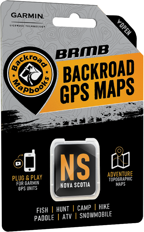
Backroad Maps GPS TOPO for Garmin Handhelds - SD Card - Nova Scotia
Backroad Maps GPS TOPO for Garmin Handhelds - SD Card - Nova Scotia
Couldn't load pickup availability
Discover the Jewel of the Maritimes
Known for its rugged Atlantic coastline, a unique mix of Acadian and Celtic culture and a rich fishing heritage, Nova Scotia offers a quintessential Maritime experience for backroads explorers and outdoor adventurers alike. Lighthouses and traditional villages dot the coast, while puffins and whales swim just offshore. To the north, Cape Breton Island offers a vast and pristine wilderness just waiting to be explored, with awe-inspiring views of the Atlantic Ocean that are surprisingly accessible. Scenic roadways crisscross the province, allowing you to take it all in with ease, and there are no shortage of hiking and cycling trails for a slower-paced exploration of this Maritime jewel.
Nova Scotia Backroad GPS at a Glance
- Designed for industry use and outdoor recreationists, this product combines all of Nova Scotia into one Backroad GPS Map.
- Close to 100,000 km of our backroads network combined into one map, including almost 50,000 km of routable roads.
- Nova Scotia Crown land areas for anglers, campers and hikers.
- Marked Deer Management Zones (DMZs) and Moose Management Zones (MMZs) for hunters.
- Address Search makes navigating easier than ever.
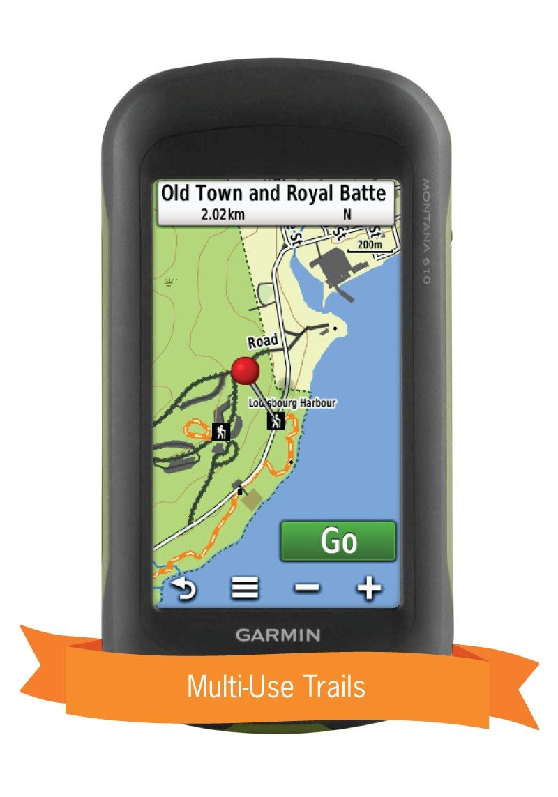
- Thousands of kilometres of ATV Trails, snowmobile routes, multi-use hiking, biking and cross-country skiing trails with marked trailheads.
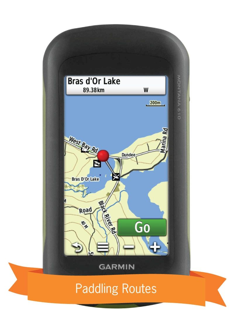
- Over 600 km of new paddling routes for canoers and kayakers with access points and portages.
- Thousands of fishing hotspots, parks and conservation areas, campsites, hunting areas, winter recreation areas and more.
- Over 14,500 land and water geographic features.
- Enhanced cartography for improved display of parks, conservation areas, Crown land, creeks and activity Points of Interest.
- Improved snowmobile route lines, First Nations reserve coverage and railway corridor mile markers.
Nova Scotia Backroad GPS Map Features
- Garmin-licensed & compatible with Garmin GPS™, Basecamp™, MapSource™ and RoadTrip™.
- Includes all standard Garmin features such as Find tool, city navigation and more.
- Preloaded 1:20,000 / 1:50,000 base scale seamless topographic maps.
- Provides 3D views and the highest level of map detail available on select Garmin GPS units and Basecamp™.
- Compatible with the latest Garmin 66i unit and inReach technology.
- The most complete Resource, Industry, and Logging road coverage available for Nova Scotia.
- Extensive routable road network including City, Resource, and Industry Roads.
- Highlights thousands of kilometres of trail systems, including defined ATV, Paddling, Snowmobile, Long distance & Multi-use trails.
- Features smart background & Searchable Deer Management Zones (DMZs) and Moose Management Zones (MMZs) for hunters.
- Includes National, Provincial, Regional, and other Parks & Campsites
- Extras like Lake & Stream Fishing information with boat launches, paddling access points, bathymetric depths, and more.
- Searchable BRMB descriptions and activity information for fishing, paddling, parks, trails and more.
- Thousands of Searchable cities, Geographic Land, and Water features.
- Features Address searching to aid navigation.
- Industry leading cartographic contours and shaded relief for all of Nova Scotia.
- And much more!
Nova Scotia Road and Trail Highlights
- Close to 50,000 kilometres of Routable Roads including city roads, rural roads, and 3 levels of Logging Roads (Industrial, Resource and Winter Access Roads)
- Close to 50,000 kilometres of non-routable roads including Old Logging Roads, Unclassified Roads, Alleyways, Leased and Private Roads and more
- 2,800+ kilometres of Trails for hikers, mountain bikers, horseback riders, cross-country skiers, including over 660 kilometres of the Trans Canada Trail
- 5,000+ kilometres of Snowmobile Trails
- 3,800+ kilometres of ATV-QUAD Trails
- 1,200+ kilometres of Paddling Routes
Share