1
/
of
3
Backroad Mapbooks
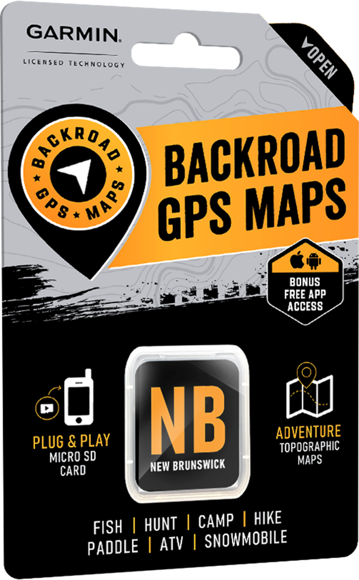
Backroad Maps GPS TOPO for Garmin Handhelds - SD Card - New Brunswick
Backroad Maps GPS TOPO for Garmin Handhelds - SD Card - New Brunswick
Regular price
$69.95
Regular price
Sale price
$69.95
Shipping calculated at checkout.
Quantity
Couldn't load pickup availability
Discover New Brunswick’s Natural Beauty
Tucked between Quebec and Nova Scotia, New Brunswick is known for its lush forests and rolling mountains, surrounded by an incredibly scenic coastline that is home to the world’s highest tides and countless intricate rock formations. Centuries-old lighthouses dot the shoreline, and an undisturbed coastal wilderness waits to be explored. Salmon journey inland along some of the country’s most fabled fishing rivers, and moose and deer roam the backcountry, attracting hunters from all over. Whether you are exploring New Brunswick on foot, vehicle or kayak, let our GPS Maps be your guide to the adventure of a lifetime.
New Brunswick Backroad GPS at a Glance
- Designed for industry use and outdoor recreationists, this product combines all of New Brunswick into one Backroad GPS Map.
- Over 163,000 km of our backroads network combined into one map, including over 36,000 km of routable roads.
- Marked Wildlife Management Zones (WMZs) for hunters.
- Address Search tool makes navigating easier than ever.
- Clearly defined Crown Land for anglers, hikers and campers.
- Thousands of kilometres of ATV Trails, snowmobile routes, multi-use hiking, biking and cross-country skiing trails and paddling routes, with marked trailheads and access points/portages.
- Thousands of fishing hotspots, parks and conservation areas, campsites, hunting areas, winter recreation areas and more.
- Over 5,600 land and water geographic features.
- Enhanced cartography for improved display of parks, conservation areas, creeks and activity Points of Interest.
- Improved snowmobile route lines, First Nations reserve coverage and railway corridor mile markers.
New Brunswick Backroad GPS Map Features
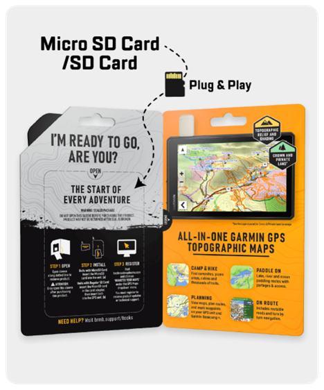
- Garmin-licensed & compatible with Garmin GPS™, Basecamp™, MapSource™ and RoadTrip™.
- Includes all standard Garmin features such as Find tool, city navigation and more.
- Preloaded 1:20,000 / 1:50,000 base scale seamless topographic maps.
- Provides 3D views and the highest level of map detail available on select Garmin GPS units and Basecamp™.
- Compatible with the latest Garmin 67i unit and inReach technology.
- Showcases Crown Land areas.
- The most complete Resource, Industry, and Logging road coverage available for New Brunswick.
- Extensive routable road network including City, Resource, and Industry Roads.
- Highlights thousands of kilometres of trail systems, including defined ATV, Paddling, Snowmobile, Long distance & Multi-use trails.
- Features smart background & Searchable Wildlife Management Zones (WMZs) for hunters.
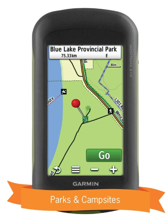
- Includes National, Provincial, Regional, and other Parks & Campsites.
- Extras like Lake & Stream Fishing information with boat launches, paddling access points, bathymetric depths, and more.
- Searchable BRMB descriptions and activity information for fishing, paddling, parks, trails and more.
- Thousands of Searchable cities, Geographic Land, and Water features.
- Features Address searching to aid navigation.
- Industry leading cartographic contours and shaded relief for all of New Brunswick.
- Improved snowmobile route lines, First Nations reserve coverage and railway corridor mile markers.
- And much more!
Share